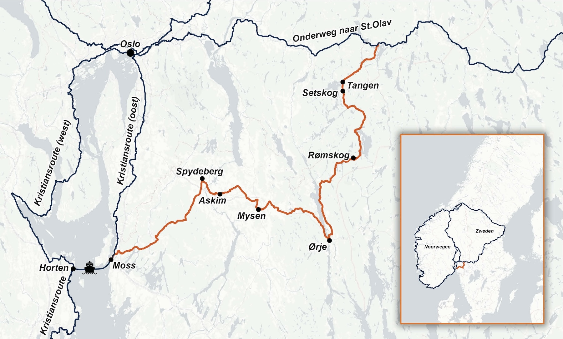
 Click or tap to enlarge the map.
If you cycle the Kristians Route, there is a third branch from Horten that may be of interest to those who wish to continue cycling afterward: Route 6 Østfold. This branch is not included in the guide.
The route is designed for those who want to avoid Oslo and prefer a shorter connection between the Kristians Route and On the way to St. Olav.
It can also be used by cyclists travelling On the way to St. Olav from Gothenburg.
Since this route may see limited use, it has been decided to describe it exclusively on the Via Gaia website.
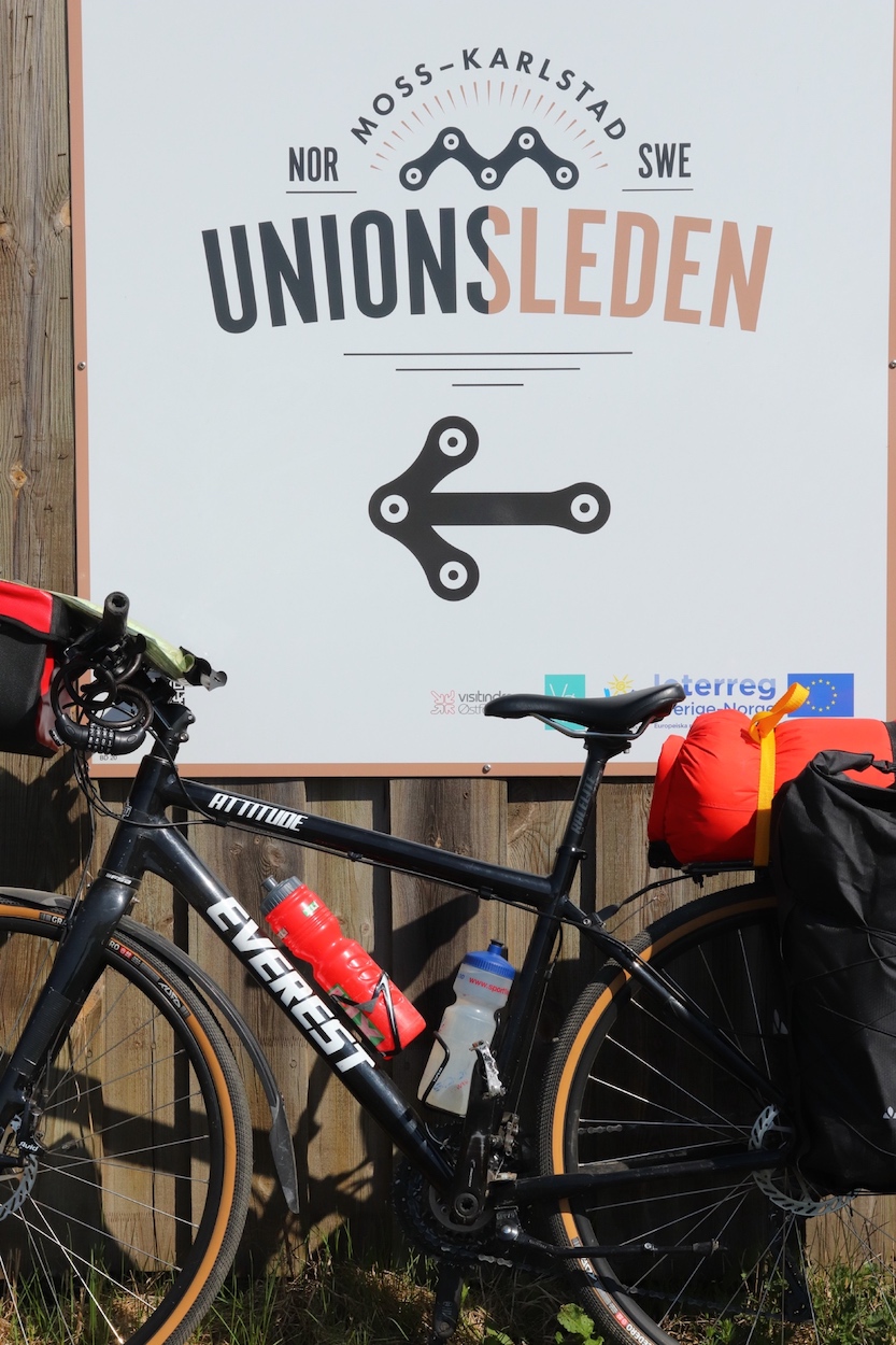
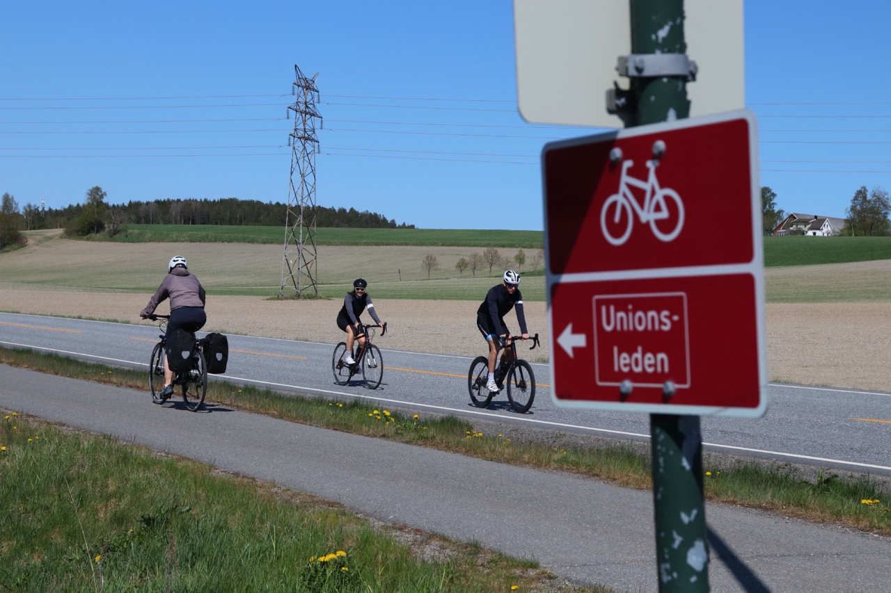
 The route follows part of the Unionsleden and a section of the Wilderness Route (Cycle Route 9). The Unionsleden is a 350-kilometer-long cycling route from Moss in Norway to Karlstad in Sweden. Its name is derived from the Norwegian-Swedish union, which was established in Moss in 1814 and dissolved in Karlstad in 1905. The Østfold section follows the first 90 kilometers of the Unionsleden, up to Ørje. From there, the Unionsleden continues south, while this route heads north via the Wilderness Route.
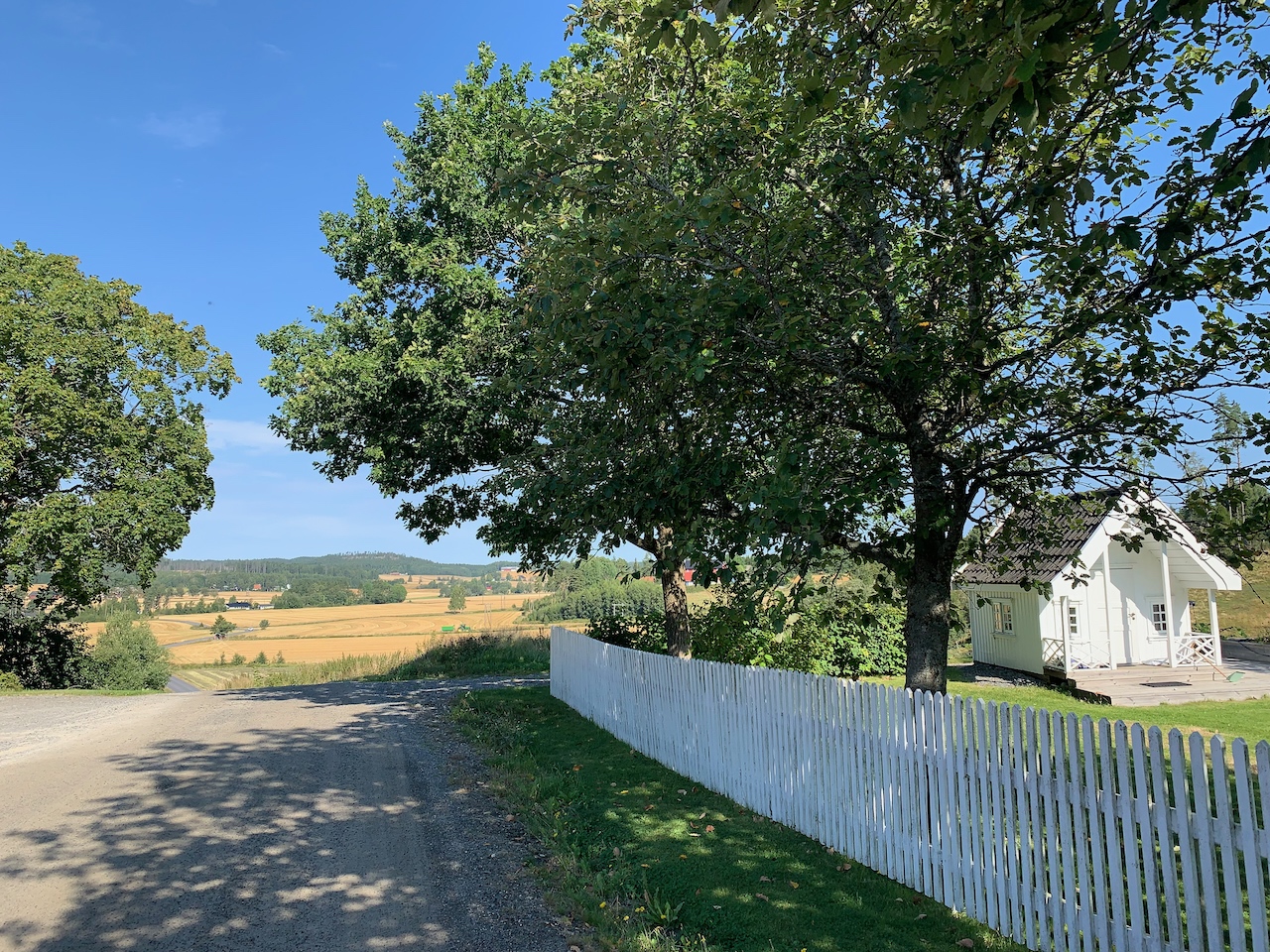
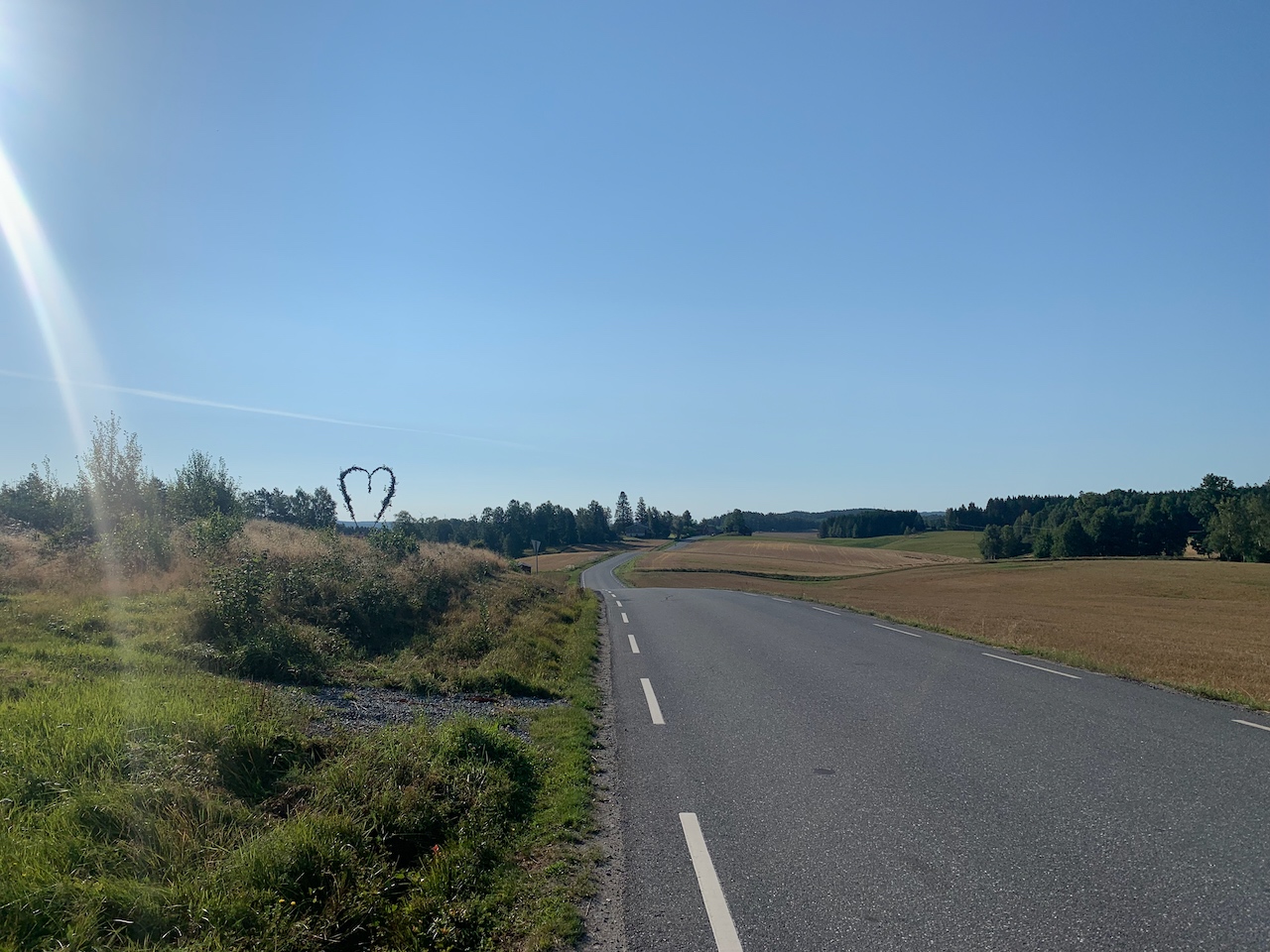
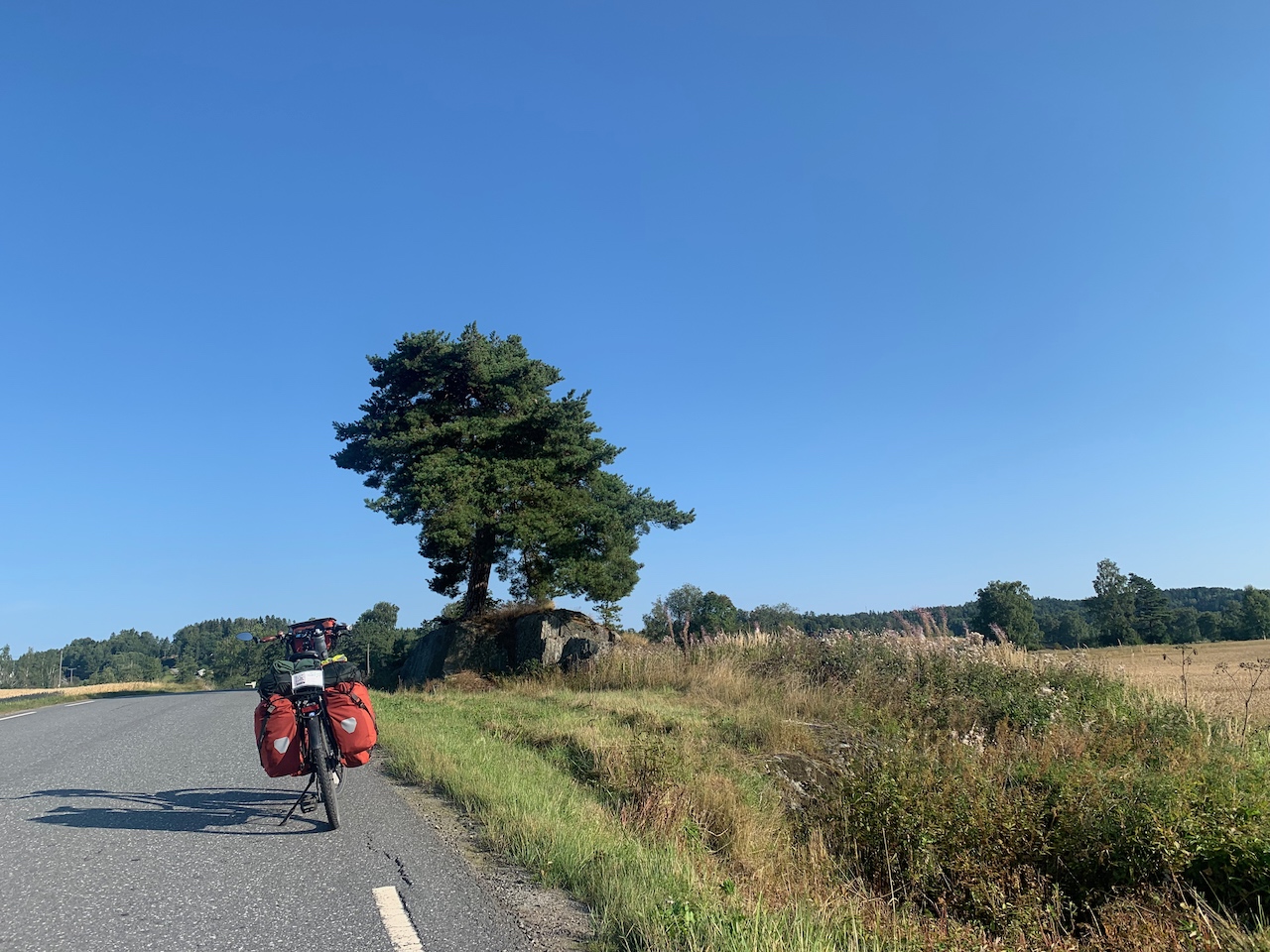
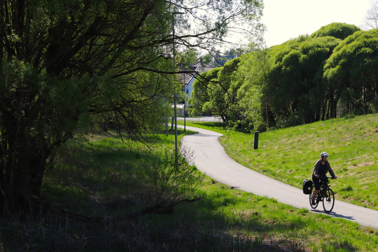
The Unionsleden passes through farmland and forests. The gently rolling roads consist of a mix of quiet paved roads, gravel roads (*grusveier*), and cycle paths. Along the way, you will frequently pass through small villages and towns.
The Wilderness Route (Cycle Route 9) follows a paved road through forests and along lakes, with occasional stretches of dedicated cycle paths. It is a beautiful nature route with few facilities along the way. About halfway, you will pass through the village of Rømskog, where you’ll find a supermarket and even a (Dutch!) bicycle repair shop.
 The Unionsleden to Ørje (90 km)
Along this section, you will find plenty of shops, hotels, and B&Bs. However, there are no official campsites, and finding a suitable spot for wild camping can be challenging. The larger towns with various amenities include Moss, Spydeberg, Askim, and Mysen.
For restaurants and accommodation options along the route to Ørje, visit the Unionsleden website:
- Horeca: https://www.unionsleden.com/mat-dryck/
- Overnachten: https://www.unionsleden.com/boenden/
The Wilderness Route / Cycle Route 9 from Ørje (74 km)
From Ørje to the point where you join the Onderweg naar St. Olav route, you will find a few campsites, and there is a good chance of finding a suitable spot for wild camping. However, shops and supermarkets are scarcer in this area. You can find supermarkets in Ørje, Rømskog, and Setskog.
In Moss
- See page 80 in the guide of the Kristians route.
Bij Spydeberg
- Spydeberg Prestegård
GPS-coördinates: 59.5910319 11.0767697
Historical garden (note: limited opening hours).. Website Prestegård. - Fossum Brogalleri
GPS-coördinates: 59.6019306 11.0985955
Just before you cross the cycle bridge over the Glomma, there is a fort with a viewpoint over the river. - Aan de overkant van de brug bevindt zich een oorlogsmonument
GPS-coördinates: 59.6011409 11.1015078
In April 1945, skirmishes took place here between German occupation forces and Norwegian soldiers, resulting in several casualties on both sides.
Bij Askim
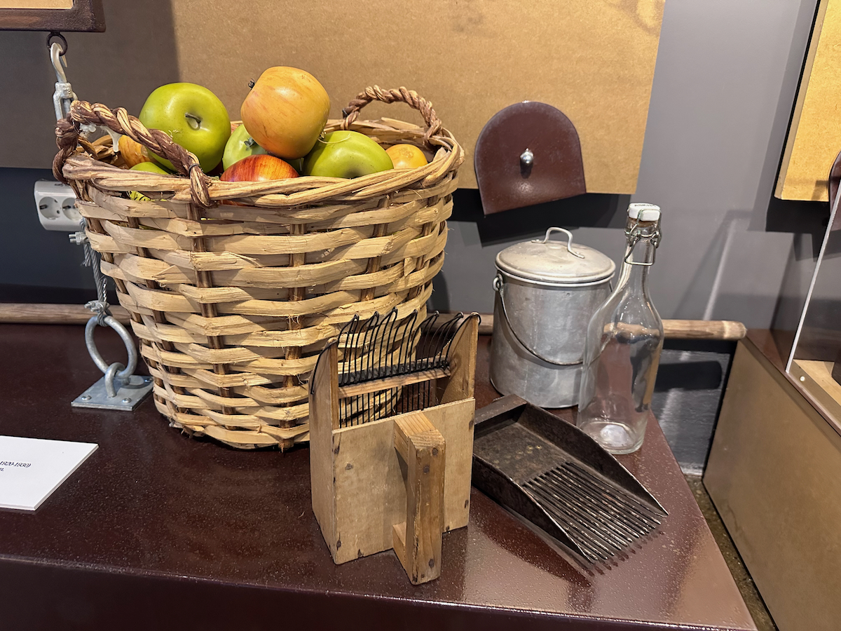
- Askim frukt- og bærpresseri. Museum and farm shop.
GPS-coördinates: 59.58386 11.133844
Osloveien 93, 1815 Askim
Website Frukt- og bærpresseri. - Romsåsen Gruver (quarry)
GPS-coördinates: 59.586689 11.109699. Website Romsåsen.
In Mysen
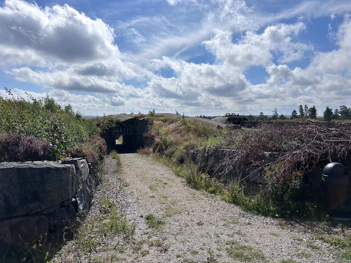
- Høytorp Fort. Museum with restaurant.
GPS-coördinates: 59.563484 11.339479. Website Høytorp.
Sukken Camping
GPS-coördinates: 59,5138290, 11,6664820
Sukkenveien 2, 1870 Ørje
T +47 48096800 / +47 47648922
E This email address is being protected from spambots. You need JavaScript enabled to view it.
W Sukken CampingCamping and huts. Cyclists are warmly welcomed by the friendly owner.
Kampeerplek Langvannet
GPS-coördinates: 59,6620142, 11,7267732
Camper place where you can also pitch a tent. No facilities, only outdoor toilet
Nord Steinby Kro & Camping
GPS-coördinates: 59,7463290, 11,8121650
Storveien 502, 1950 Rømskog
T +47 92847982
Facebook Nord Steinby Kro & CampingA campsite with fixed places, but there is always a place available for cyclists. It is small, but equipped with all conveniences.
Kirkevika Camping og Badeplass
GPS-coördinates: 59.83356, 11.71422
1954 Setskog
T +47 99434574
Website Kirkevika Camping
Tangen Camping
GPS-coördinates: 59.843782 11.7168326
Fv21 2, 1954 Setskog
Bij ingang de camping staat in de zomer een stalletje waar men snacks, koffie en thee verkoopt.
Red Bike Moss (bike repair shop)
GPS-coördinates: 59,4377379, 10,6678520
Møllergata 1, 1530 Moss
T +4740018057
redbikemoss.no
Intersport Spydeberg (sport shop with bike workshop)
GPS-coördinates: 59,6155089, 11,0777581Nordmyrveien 4, 1820 Spydeberg
Tel. +47 69837043
intersport.no/spydeberg
Intersport Askim (sport shop with bike workshop)
GPS-coördinates: 59,5848140, 11,1675910
Henstad Alle 3 C, 1830 Askim
T +47 69881724
intersport.no/askim
Intersport Mysen (sport shop with bike workshop)
GPS-coördinates: 59,5533238, 11,3282082
Torggata 20, 1850 Mysen
T +47 69893840
intersport.no/mysen
Helt Skrudd Sykkelservice (bike repair shop)
GPS-coördinates: 59,5520750, 11,3383700
Storgata 35, 1850 Mysen
T +47 91887460
heltskrudd.no
Rømskog sykkelservice (bike repair shop)
GPS-coördinates: 59.7395796, 11.8242019
Haugbakk 62, 1950 Rømskog
T +31 6 26816698
E This email address is being protected from spambots. You need JavaScript enabled to view it.
romskogsykkelservice.wordpress.com
Oops, still completely empty! Do you have a tip for other cyclists about this route? Let us know via Contact.
Foto's
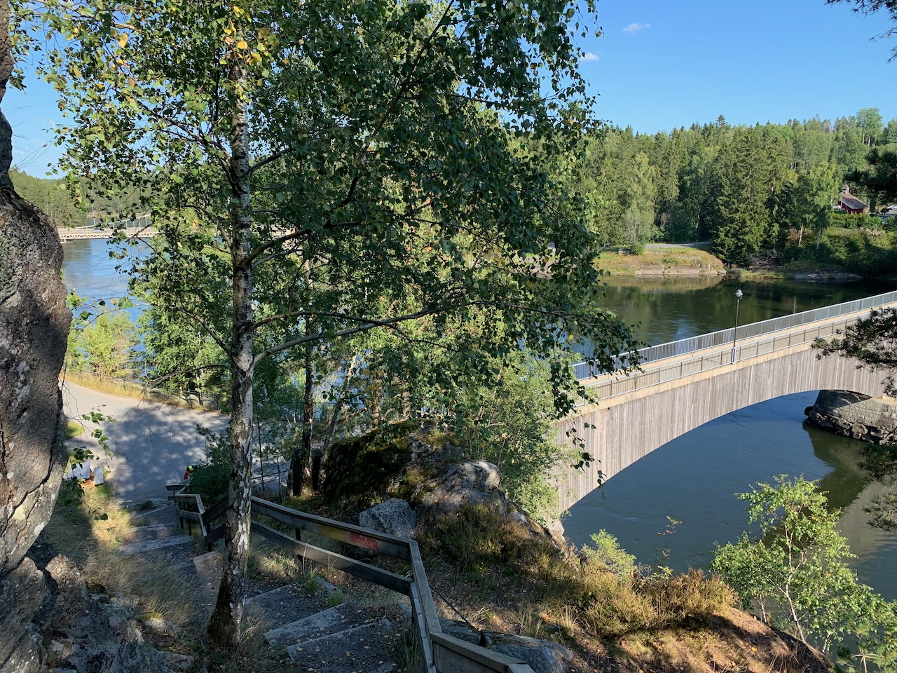


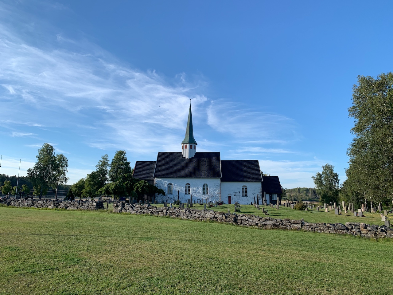
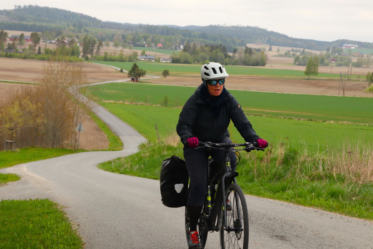
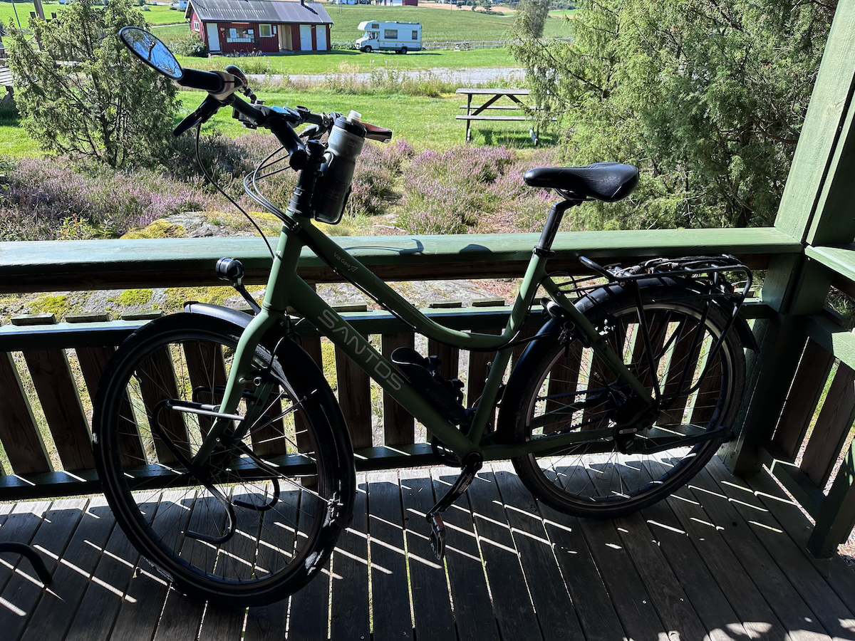


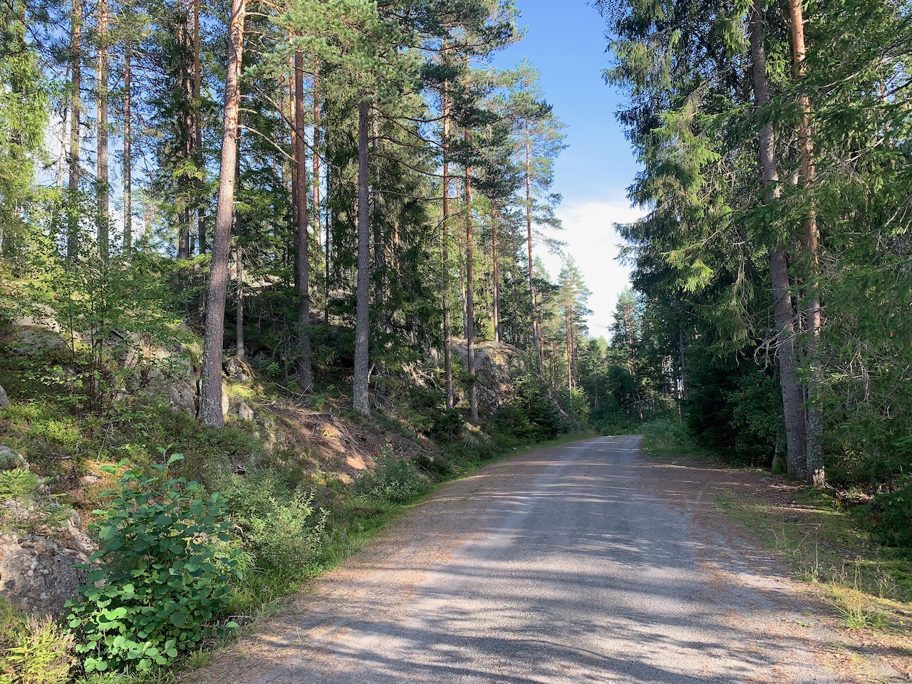

Halverwege de route ligt het kleine pittorske stadje Ørje. De route maakt hiervoor een kleine omweg.
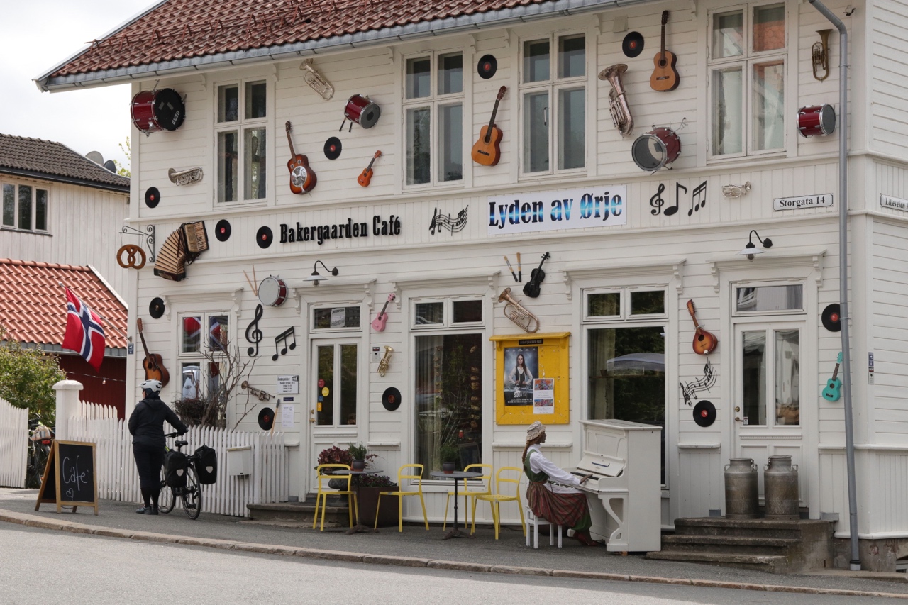


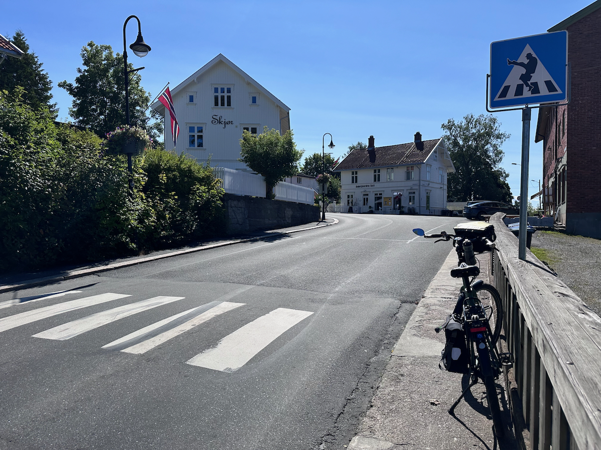

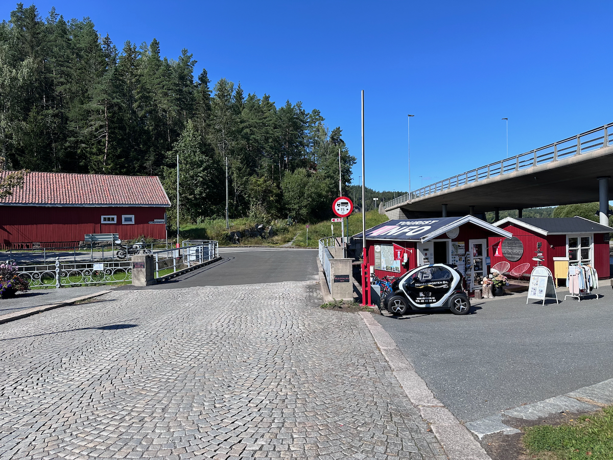

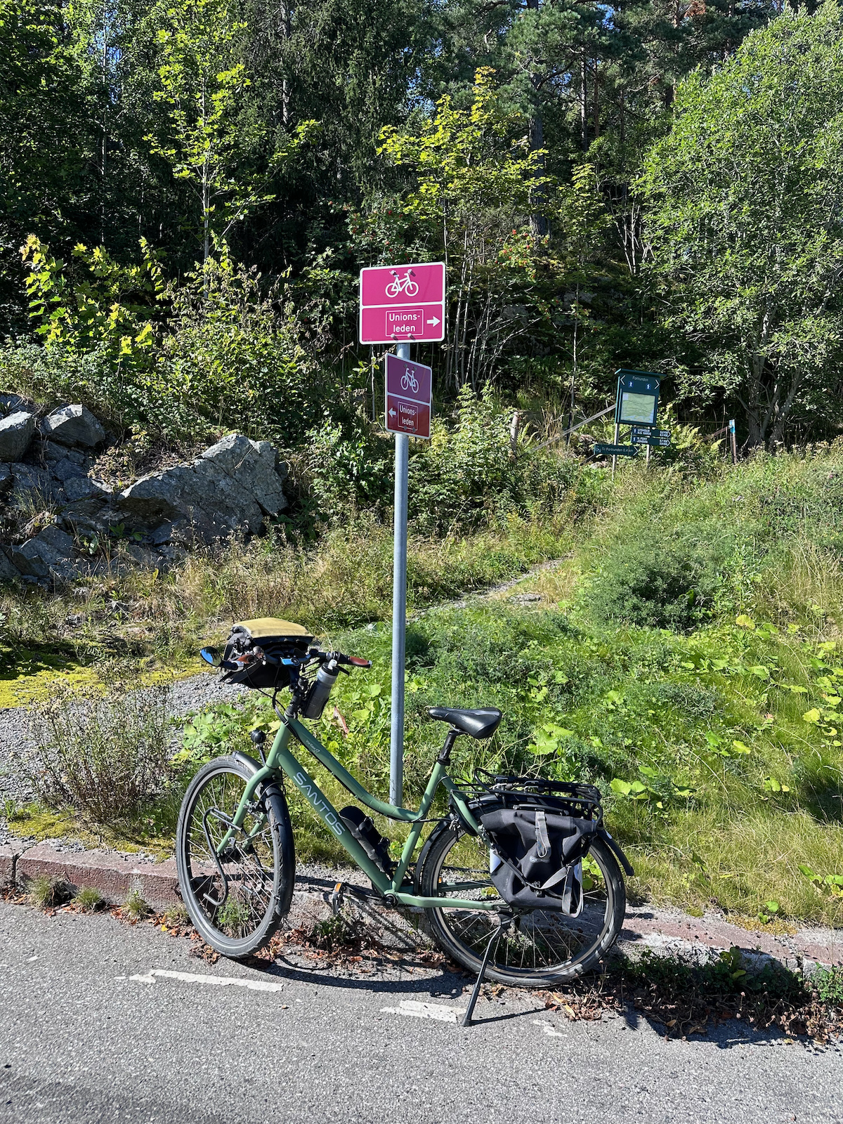

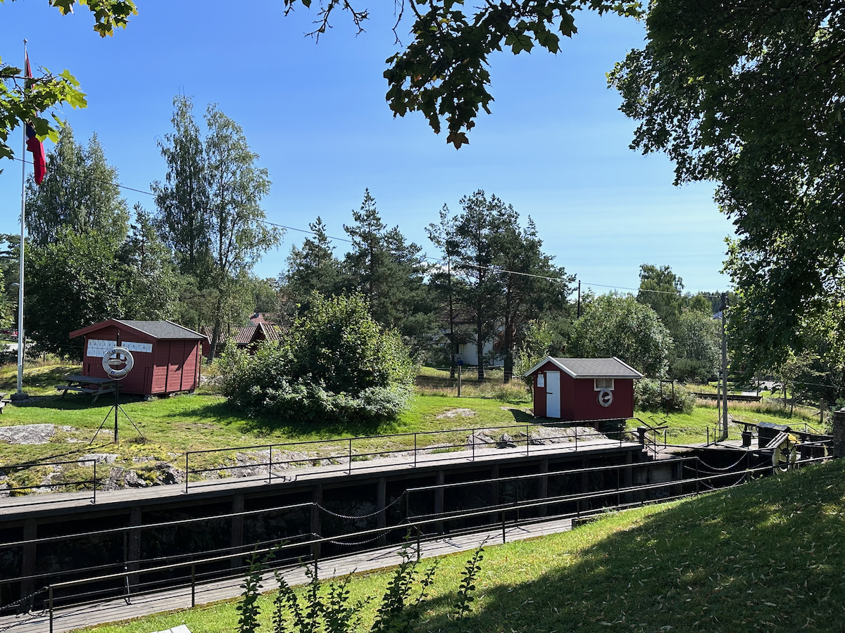


Je kan hier terug naar de Kristiansroute of naar Onderderweg naar St. Olav.