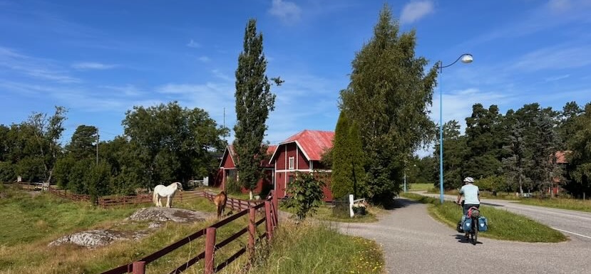
The St. Olav Waterway and the route along the top of the islands are easy cycling routes. In some places the terrain is slightly undulating, but you’ll mainly be cycling on flat roads. There are plenty of places to stay and supermarkets. Some planning is required, however, as some of the numerous ferry services only run only a few times a day and - although cyclists can usually travel for free or for a small fee - you need to book in advance to guarantee a place on the ferry.
The St. Olav Waterway website contains everything you need to know about the route. The page you are currently viewing, provides a practical summary of the key points to consider when planning your route. This also includes the section of the route that runs along the northern coast of the Åland Islands.
St. Olav Waterway
- The St. Olav Waterway website
- There are still a few short pilgrimage routes in south-west Finland. Information on these can be found on the Pyhiinvaellus Suomi website.
- Information about the pilgrim centre in Turku.
- For an organised pilgrimage, visit Nordic Pilgrim. This small-scale tour operator, which specialises in northern pilgrimage routes, also offers the St Olav Waterway for cyclists. The big advantage of this is that you don’t have to bring your own bike.
Local cycling routes on the Åland islands and the Finnish archipelago.
You can download here the complete  GPX-track(version 260821), as shown on the map under Route. This includes the route along the northern coast of the Åland Islands.
Please note that the Via Gaia GPX file differs slightly from the official route in three places:
- In the south-west of Turku. The official cycle route continues here along a busy road. The Via Gaia route follows a cycle path alongside a field.
- The Via Gaia route follows a cycle path through a park to Parkas Church (stamp). The official cycle route stays on the main road and does not pass the church.
- At Lumparland (after Långnäs harbour), the Via Gaia route heads to Lumparland Church (stamp). The official cycle route stays on the main road and does not pass the church.
The official route for cyclists along the St. Olavs Waterway can be found on their own website.
Length of the route
The St. Olav Waterway is 292 km long, of which about a third is on water. The route along the upper section is 240 km long, and about a third of that is also on water. The route breakdown can be found under the next tab. The total number of kilometres cycled is 200 + 175 km.
Time required
You’ll need four to five days just for the St Olavs Waterway. The full loop takes twice as long. When planning your trip, bear in mind the ferry timetables.
Difficulty
The route is not difficult and is therefore certainly suitable for families with children. On Åland and around Turku, the route follows dedicated cycle paths. Elsewhere, it runs along quiet roads. There are a few sections that cross a busy road, but Finnish drivers generally drive calmly and give you plenty of space when approaching.
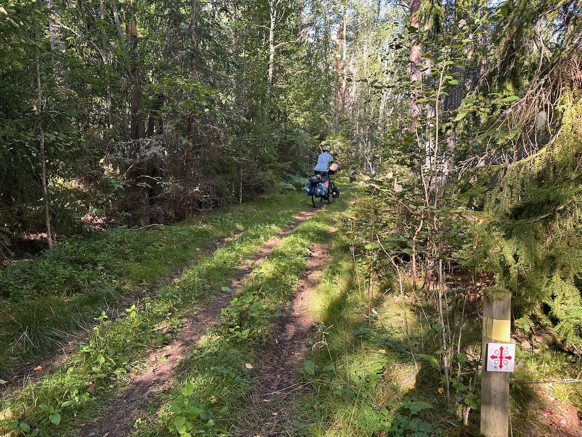
There are a few slightly challenging sections along the St Olav Waterway. In Turku itself, you cycle through a beautiful forest, but the path has a couple of steep little inclines. These are very short, however. And after 50 km, in the Finnish archipelago, the St Olav Waterway diverges from the local cycle route in two places. This is a logical choice, as the scenery is very beautiful and it allows you to escape the busy motorway for a while. But it is precisely on these ‘detours’ that you’ll occasionally come across a gravel track or a tricky forest path. Again, these are only short stretches.
General tips
- You’ll be taking the ferry regularly along the way. There are two operators: Ålandstrafikken for the Åland Islands and Finnferries for the Finnish archipelago. Create an account on both websites in advance, it’ll save you time when booking.
- You’ll need to book almost every crossing in advance, even the free ferries. In the Itinerary section (next paragraph), you’ll find details for each crossing stating whether or not you need to book. Especially in peak season (June and July), the ferries are always full, and there’s no space for cyclists who haven’t booked.
- In the high season, it’s wise to plan well in advance so that you can book the ferries in advance too.
- Until May and from August onwards, it’s a bit quieter, so you might be able to take a chance by booking just a day or a few hours in advance.
- If you don’t yet know your departure times, you could opt for an Open Ticket for some routes. However, you’ll still need to book in advance. The only advantage, then, is that you’ve already completed the payment.
- Please note: you book for 1 person and 1 bike. If there are two of you, you’ll need to book for the second person afterwards. You can do this using the same account.
- You can book up to one hour in advance. The price is €4.80 per cyclist. If you make several crossings in one day, you do not always have to pay again (but you do need to book).
Itinerary
Note: Each link leads to a genral ferry timetable. Please ensure you are viewing the correct timetable for the relevant period. The sailing frequency mentioned here is based on the high season.
Åland islands and Finnish archipelago north:
- Cycling: Eckerö - Prästö (52 km)
- Ferry: Prästö - Töftö. A short crossing by Töftölinjen. The ferry runs every 15 minutes. No booking required.
- Cycling: Töftö - Hummelvik (11,5 km)
- Ferry: Hummelvik - Torsholma (Brändö). A long crossing by Norra Linjen. The ferry runs four times a day and the crossing takes 2-3 hours. Booking required.
- Cycling: Torsholma - Åva (22,5 km)
- Ferry: Åva - Jurmo - Åva. An alternative route if you want to stay overnight on Jurmo (at a hostel or on a campsite). A short crossing by Åva-Jurmolinjen. In the afternoon, the ferry runs roughly every hour; in the morning and evening, only once or twice.
- Ferry: Åva - Vuosnainen/Osnäs. A long crossing by Norra Linjen. The ferry In het hoogseizoen gaat de boot 4 tot 6 x per dag en duurt 3 kwartier. Booking required.
- Cycling: Vuosnainen - Vartsala (5,5 km)
- Ferry: Vartsala - Kivimaa (Gustavi). A short crossing by Finnferries. The ferry runs every 20/30 minutes. No booking required.
- Cycling: Kivimaa - Hakkenpää (25 km). Please note: if the ferry times from Hakkenpää to Teersalo are inconvenient, you could also cycle overland via Regional Cycle Route No. 10. However, most of the route involves cycling on or alongside a busy road. A GPX track has been included in the download link above.
- Ferry: Hakkenpää - Teersalo. Crossing by Velkua route Kaita. The ferry runs 2 x a day and the crossing takes half an hour. Booking required.
- Cycling: Teersalo - Turku (58 km)
St. Olav Waterway:
- Cycling: Turku - Lillmälö (45 km)
- Ferry: Lillmälö - Prosvik (Nagu). A short crossing by Pargas-Nagulinjen. The ferry runs four times an hour and the crossing takes 10 minutes. No booking required.
- Cycling: Prosvik - Pärnäs (41 km)
- Ferry Pärnäs (Nagu) - Retais (Korpo). A short crossing by Nagu-Korpolinjen. The ferry runs four times an hour and the crossing takes 10 minutes. No booking required.
- Cycling: Retais - Korpo - Galtby (7-13 km)
- Ferry: Galtby - Kökar. A long crossing by Södra linjen. The ferry runs once a day and the crossing takes 2 hours and 30 minutes. Booking required. Please note: depending on the day, the departure time may be inconvenient. However, Korpo is a lovely place to spend some time. The village of the same name has a church (stamp), a café, a supermarket and a hotel.
- Cycling: Kökar hamn - Kökar (eventueel) - Sankt Anna kyrka - Kökar hamn (5-13 km)
- Ferry Kökar - (Sottunga -) Långnäs. Please note: during the high season, the ferry sails directly from Kökar to Långnäs. If you wish to visit Sottunga, you will need to do so from Långnäs. The crossing Kökar - Långnäs is a long crossing by Södra linjen. The ferry runs 1-2 times a day and the crossing takes 2 hours and 30 minutes. Booking required.
Please note: depending on the day, the departure time may not be ideal. Sandvik Gästhamn & Camping is a lovely place to stay for a while (cabins are also available). You can cycle to the church (for a stamp), but there’s also a lovely walking route from the campsite along the Gamla Kyrkvågen (old church path) to the church. Good walking shoes are recommended. The village of Kökar has a small supermarket. - Cycling: Långnäs - Eckerö (68 km)
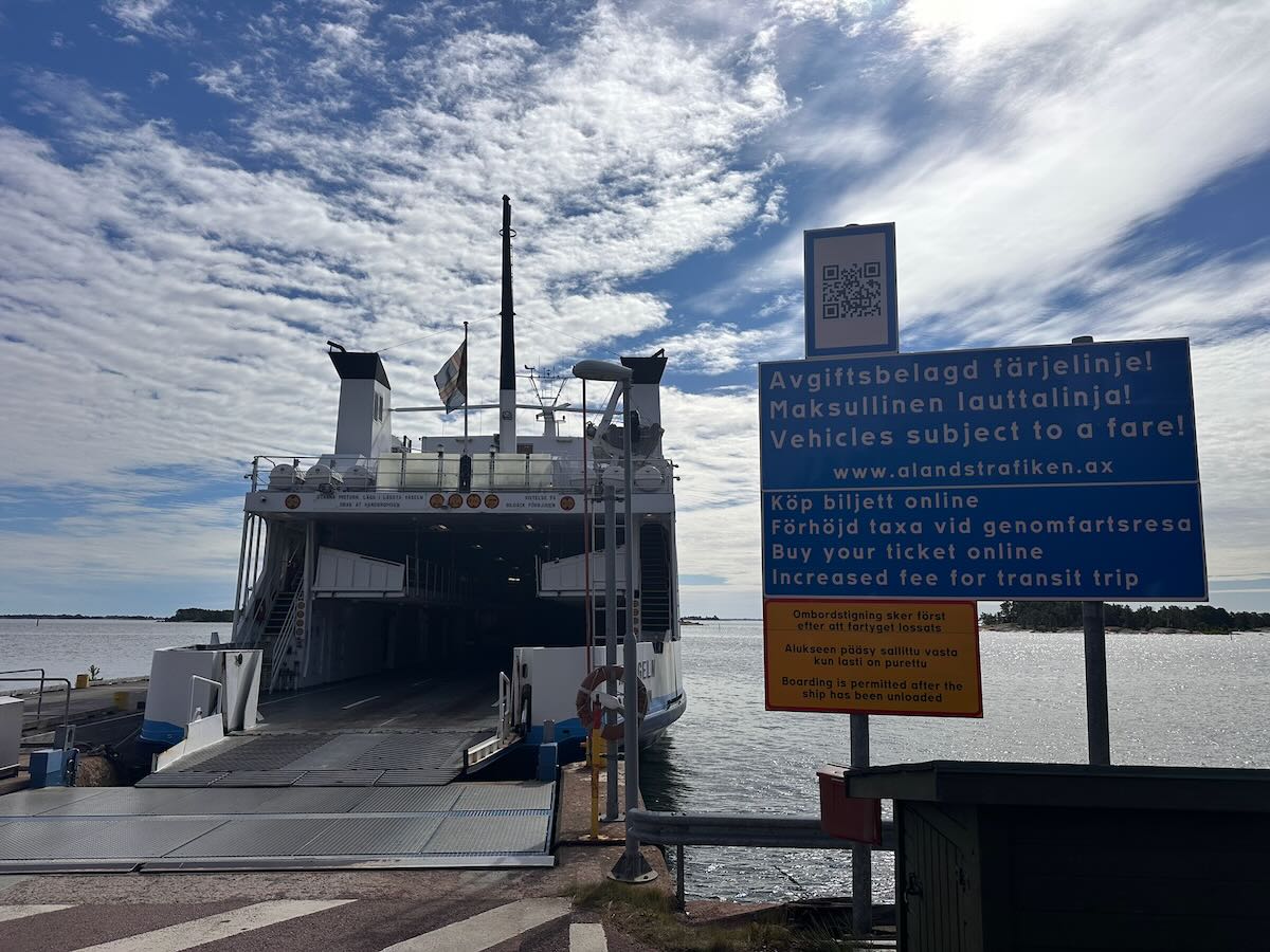
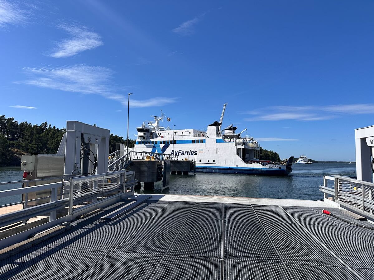
From April to October. Please bear in mind that ferries run less frequently outside the high season. The high season runs from around the second week of June until around mid-August.
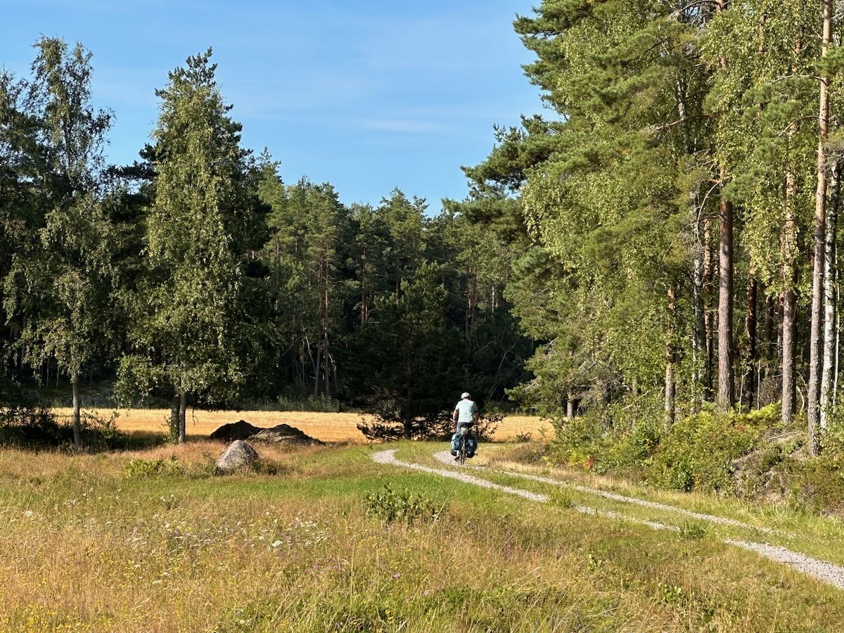
The road surface on the cycle route is good. You’ll mainly be cycling on tarmac roads, with the occasional unpaved stretch in between.
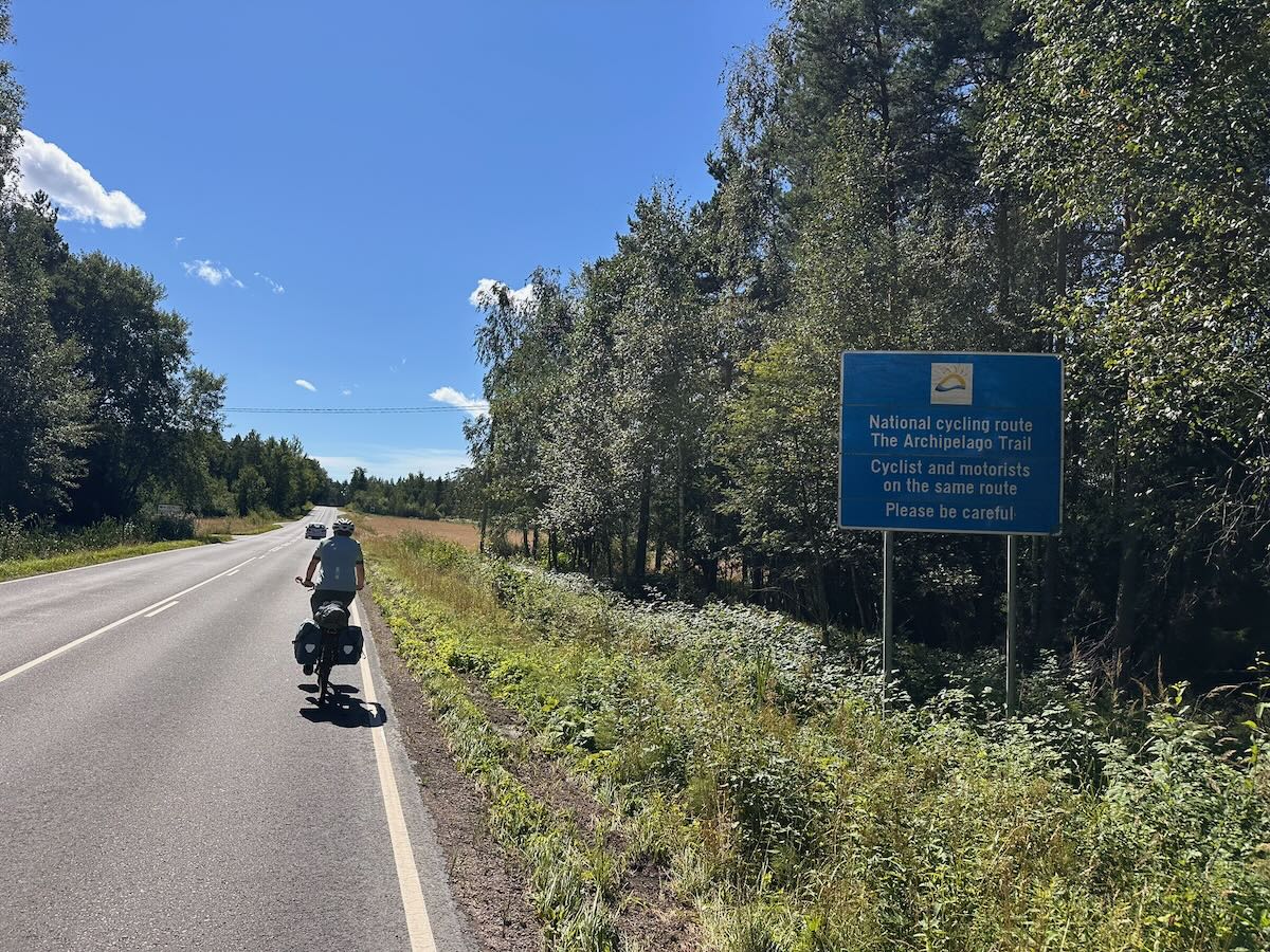
The route frequently follows dedicated cycle paths. However, these paths almost always run alongside motorways. There are also roads that you have to share with motorists, which is by no means always pleasant. Unfortunately, there are no alternatives in such cases.
Traffic on the islands’ roads depends on whether a ferry has just arrived. Otherwise, the roads there are fairly quiet.
The unpaved roads and low-traffic roads are the most pleasant for cycling in terms of traffic. Perhaps they are less common than one might wish.
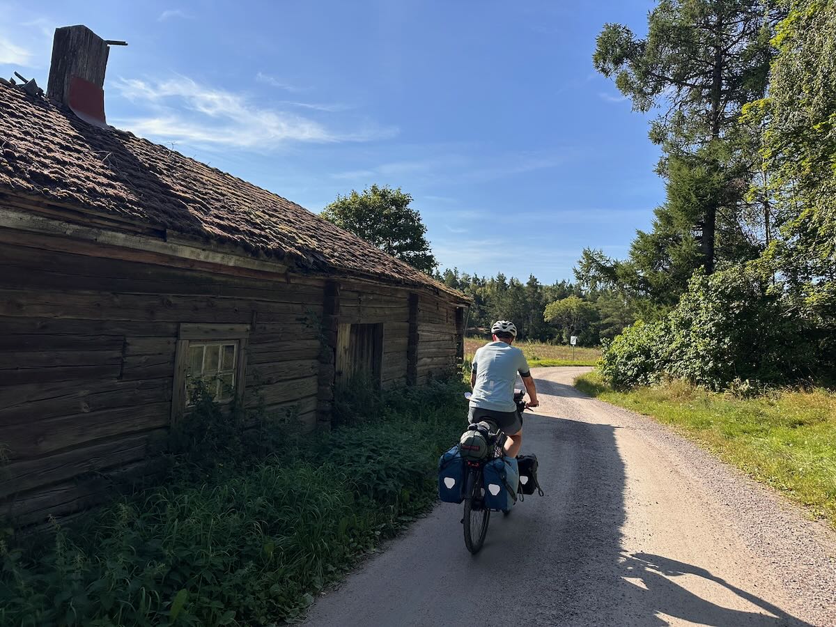
There are plenty of campsites, hotels, hostels and B&Bs along the entire route. There are also plenty of supermarkets and places to eat along the way.
For the St. Olav Waterway, there is a page with a digital map to help you find places to stay. Pilgrims accommodations can be find on this list.
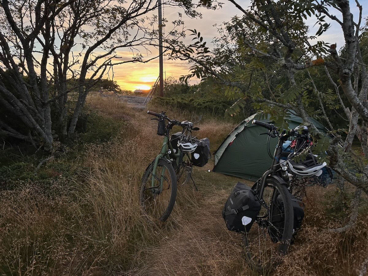
Camping on the isle of Kökar
 With a pilgrim’s passport in which you collect stamps along the way, you can collect a (free) Olavsbrev (Olav’s Letter) from the pilgrim centre in Trondheim. This is a certificate confirming completion of the journey. The pilgrim’s passport, with its dated stamps, serves as proof of this. The passport is also useful to show at accommodation providers that offer a discount for pilgrims. On this page you will find places where you can get a stamp. However, carrying a pilgrim’s passport isn’t quite as essential as it is, for example, on the route to Santiago, where you really do need it to gain access to the refugios. The passport costs €6.99 and can be ordered from the Via Gaia webshop.
 Ferry routes from Sweden to Åland
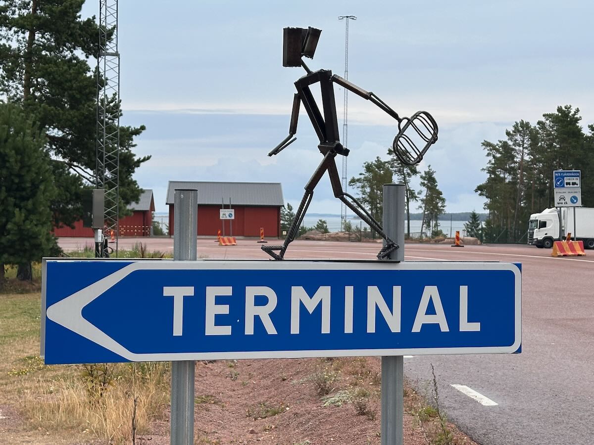
- Grisslehamn- Eckerö with Eckerolinjen
- Kappelskär - Långnäs or Naantali (nearj Turku) with Finnferries.
- Stockholm - Långnäs with Vikingline
- Stockholm - Mariehamn with Vikingline or Tallink.
Bus
You can take your bike on the bus. Information on domestic routes and timetables: Matkahuolto
Airplane
Turku Airport - A small regional airport with international connections is situated 8 kilometres outside the city centre. Helsinki Airport is the largest in Finland and has excellent train and bus connections to Turku.
The route is ideal for cycling on an e-bike. However, you should bear the following in mind:
- You cannot take the e-bike on the plane.
- Charging won’t be a problem, as long as you’re not wild camping. It is, however, a good idea to plan your overnight stays a little in advance. If you’re unsure whether you can charge the bike at your accommodation, it’s best to give them a quick call beforehand to ask if it’s possible or permitted.
At Carfield, you can hire a bike throughout the archipelago. They offer a service that allows you to return your bike to a different location. As both Turku and the ports in Sweden are difficult to reach by bike if you live a long way from the start and end points, this is a handy alternative. If you have your trip organised by Nordic Pilgrim a bike is included.
From a safety perspective, the St. Olav Waterway is perfectly suitable for cycling alone. Women travelling alone do not need to take any more precautions than they would in any other situation. In fact, Finland is a relatively safe country for women. There is little crime, but it is, of course, always advisable to lock your bike.
If you don’t want to make a round trip and would prefer to continue your pilgrimage to Trondheim, there are several options:
- You can cycle to Trondheim via the Swedish and Norwegian national cycle routes.
- Cycle northwards along the Swedish east coast to Sundsvall. Then follow the S:t Olavsleden to Trondheim.